Hikes
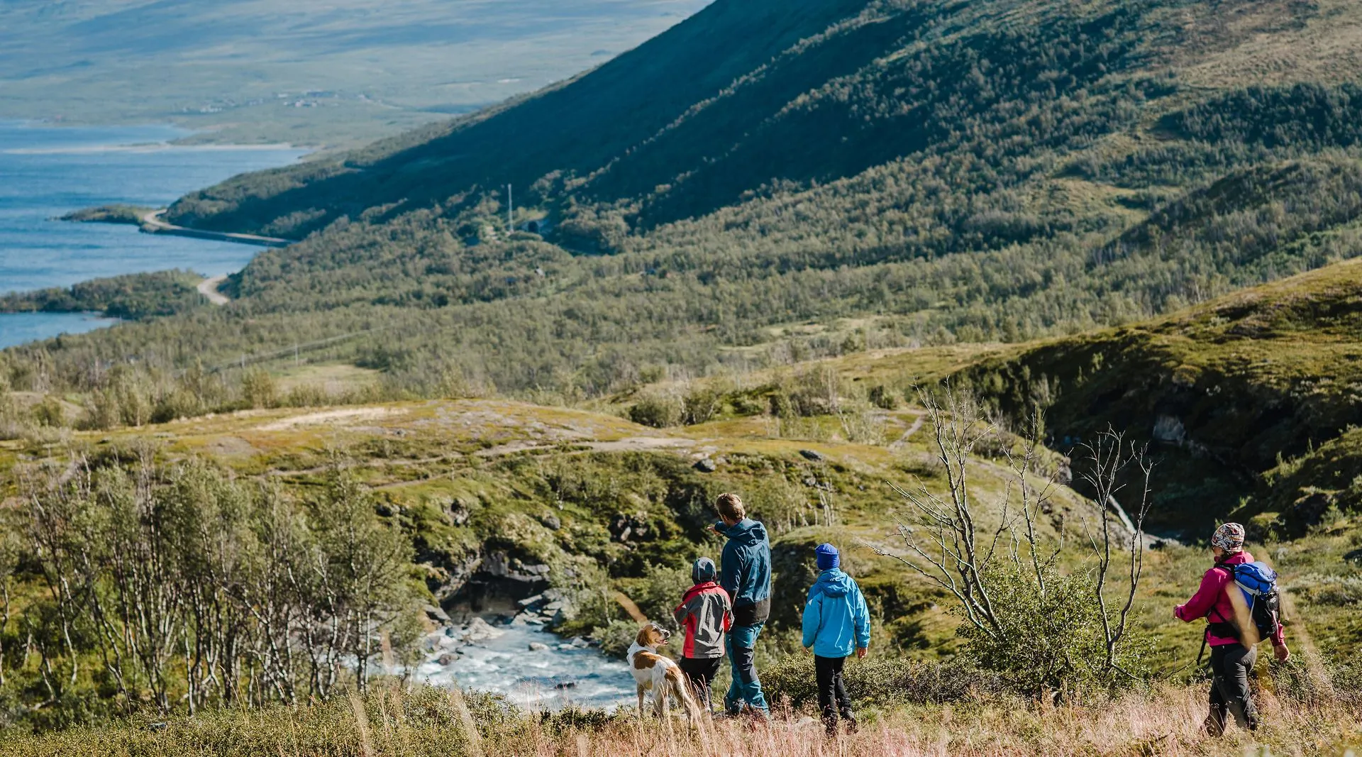
Hiking is a wonderful way to experience nature. It provides the opportunity to see both the big and small things that appear along the trails. The chances of encountering wildlife increase when traveling on foot and moving in silence. A hike doesn’t have to mean a full backpack and several days of trekking; even a morning stroll around the corner can be enough. That’s the charm of it—you can tailor the day to your own preferences. Be sure to plan your hike so there’s time to enjoy it! One tip is to bring a backpack so you can carry a thermos with something warm to drink and some snacks, allowing you to sit down and enjoy without having to head home just when it’s at its best and your stomach starts to rumble. Around Björkliden, there are plenty of hikes suitable for a day trip.
There are also opportunities for longer hikes, but here we’ve chosen to focus on what’s available in the local area. If you’re looking for tips and advice on longer trips, please feel free to contact our guides or the booking office.
Useful additions for a more enjoyable mountain hike include a map to help you identify what you’re looking at, binoculars and a magnifying glass for closer observation of wildlife and birds, and a plant guide to identify the vegetation around you. Keep in mind that with today’s technology, there are also useful apps for your phone, such as Norrbotten’s Nature Map and various digital plant guides. However, we always recommend bringing an analog map and compass with you on your hike.
”Tip: Rallarvägen is a fun trail to bike along. Rent a bike for the day and discover a different mountain adventure!”
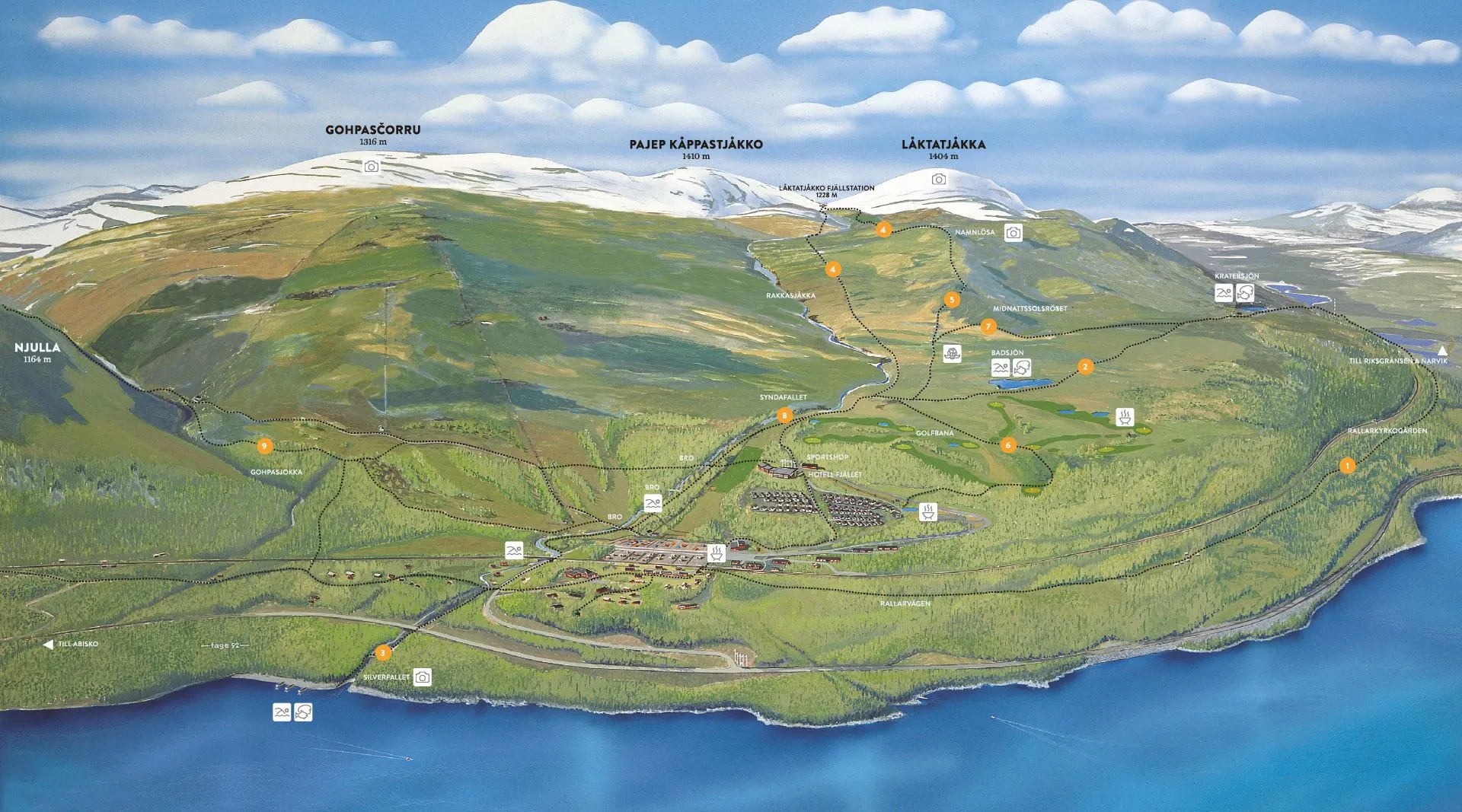
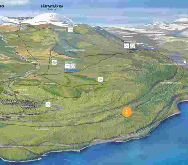
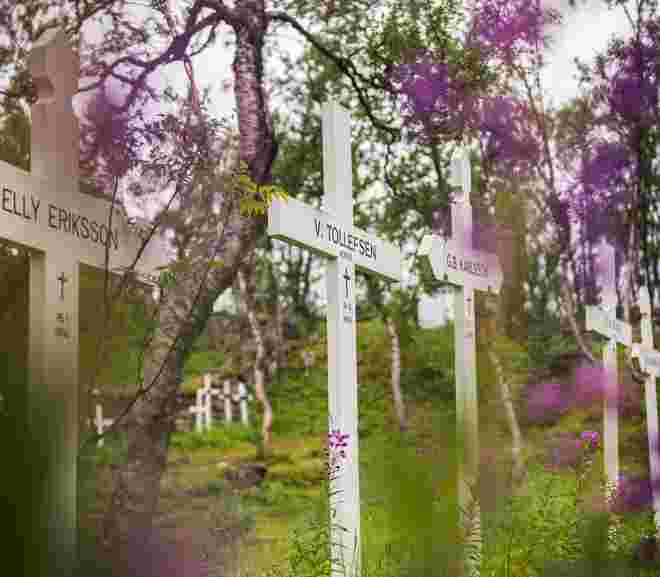
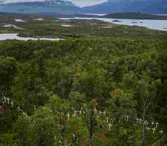
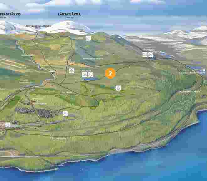
Start at the hotel, take the cabin village road or the paved road down to the railway station in Björkliden village. Cross the railway at the crossing and turn left immediately. At the edge of the forest, you’ll find an information board about Rallarvägen and a road sign. From here, it’s about 3.5 km to Rallar Cemetery. The cemetery itself is on the left side above the trail, with an information board at the trail junction. If you want to visit Tornehamn Church, continue straight along Rallarvägen past the cemetery and look for signs towards Tornehamn. It’s about 1.5 km to walk down to Tornehamn from the cemetery. Return the same way back to the hotel.
FACTS ABOUT OPTION 1
|
Distance |
8 km Hotel – Rallar Cemetery round trip |
|
Time required: |
2-3 h |
|
Marking: |
White/blue markings on tree trunks. Signs. |
Follow Option 1 towards “Rallarkyrkogården” and then choose to hike up to Crater Lake (Kratersjön), approximately 1.5 km. After that, hike the route to Crater Lake and back to the hotel – see separate description. If you choose this option, head towards the cemetery but instead of entering through the gate, follow the outside of the fence up to the railway. Be careful when crossing the railway, as trains can come quickly! On the other side of the railway, there is a path straight up the forest slope – follow this path.
FACTS ABOUT OPTION 2
|
Distance: |
9 km (church not included) |
|
Time required: |
3-5 h |
|
Marking: |
Rallarvägen is marked with blue-and-white signs. |
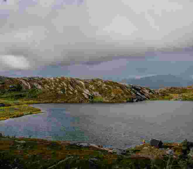
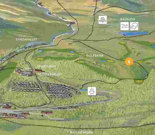
Start at the hotel and aim up the steep gravel slope towards the golf course. Hike up the gravel road and after about 1.5 km, you’ll reach Badsjön. Follow the trail on the northern (right) side of the lake. After about 2 km, you will arrive at Crater Lake. There is also a shelter here where you can take cover in bad weather. Keep to the trail if visibility is poor! If you wish, you can choose to head north (right) at Crater Lake and hike the 1.5 km down to Rallar Cemetery. Be cautious when crossing the railway! From Rallar Cemetery, you can follow Rallarvägen along the railway back to the hotel.
FACTS
|
Distance: |
7 kilometres from Hotell Fjället – Crater Lake (Kratersjön) roundtrip |
|
Time required: |
2-3 h |
|
Markings: |
The red trail markers start on the right side of Badsjön. |
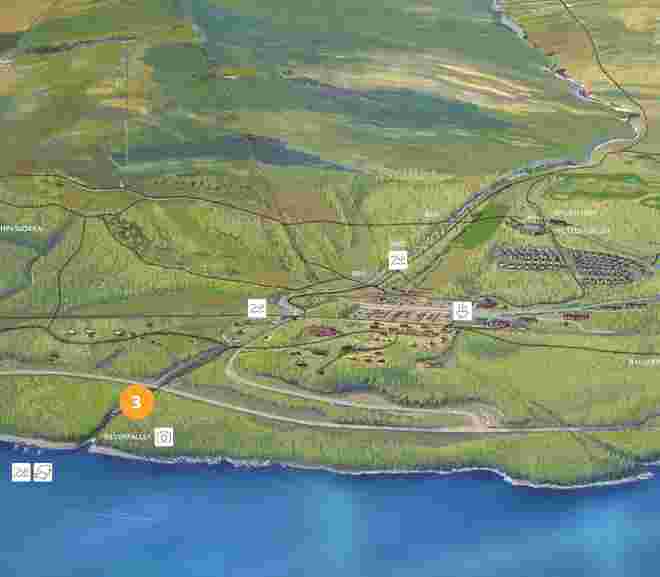
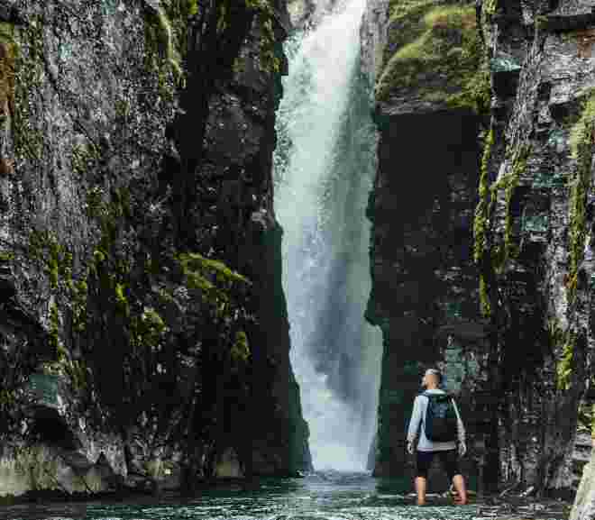
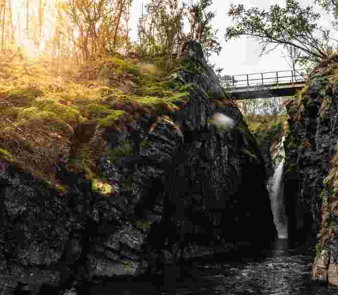
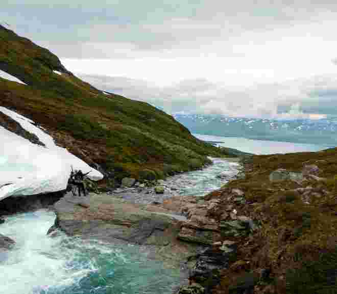
Start at the hotel, walk towards the ski slope and follow the trail that traverses across the ski slope Teknikbacken. The trail leads into the forest and towards a large wooden hut, Lavvon. Pass Lavvon and head straight down towards the stream; do not cross the stream but turn downward and follow the stream towards lake Torneträsk. After a while, you will reach the lift stations and the helicopter site; here you need to turn onto the asphalt road for about 150 meters. At the intersection, you’ll see the stream right next to the road and a bridge over the water. This is where the trail Rallarvägen towards Abisko starts. Stay on this side of the bridge and turn down along the stream. There is also a trail along the stream towards Silverfallet—take that one! The trail goes under the E10 and down towards the water. There is a bridge over the stream a bit further down. Be careful, it can be slippery if it has rained! Now you’ve reached Torneträsk!
FACTS
|
Distance: |
3 kilometres from Hotell Fjället – Silverfallet Waterfall roundtrip |
|
Time required: |
2-3 h |
|
Markings: |
Unmarked but clear paths and roads. |
THE TRAILS
FACTS
|
Distance: |
About 9,5 km |
|
Time required: |
3-5 hours (one way) |
|
Markings: |
The red color markings on the cairns are for the Trail “Färdledarvägen”, only cairns are for the Summer Trail. |
|
Elevation: |
About 750 elevation metres |
”At really high altitudes, only lichens can survive. Keep an eye out for the Glacier Buttercup, which can also thrive at high elevations!”
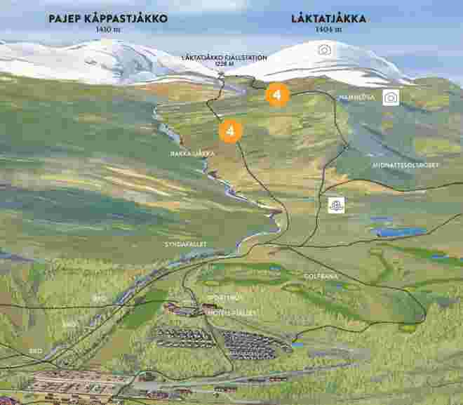
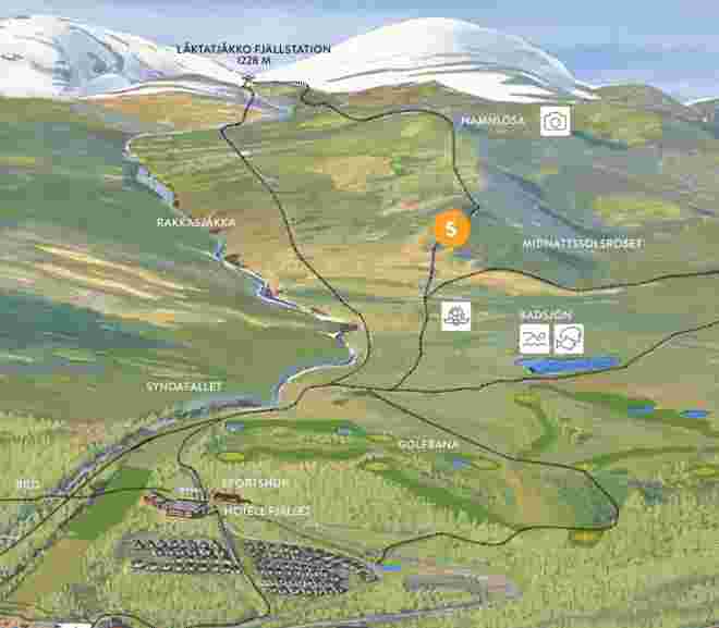
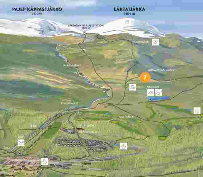
To reach Namnlösa, start at the hotel and follow the trail towards Låktatjåkko Mountain Station. When you turn off from the golf course and start gaining some elevation, the ascent up Namnlösa begins. At this point, the trail to Låktatjåkko Mountain Lodge splits into the Summer Trail and the Guide Route. Both trails are marked with red dots on the map (BD6). We suggest choosing the Summer Trail, which is the southern route. It has a gentler ascent up Namnlösa. Once you reach the mountain plateau Rákkasláhku, after about 2.5 km, and the trail starts to slope downward, instead of continuing on the trail, turn off and head straight north up to Namnlösa itself. From the trail to the summit, there are about 700 meters and 30 meters of elevation gain remaining.
FACTS
|
Distance: |
About 3,5 km (one way) |
|
Time required: |
3 hours (one way) |
|
Markings: |
The red color markings on the cairns are for the Trail “Färdledarvägen”, only cairns are for the Summer Trail. |
|
Elevation: |
About 750 elevation metres |
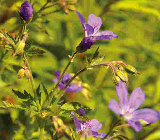
The tour starts at the sports shop, where you can borrow a guidebook. In the guidebook, you’ll find pictures and descriptions of over 50 plants, where you are most likely to see them, and a detailed description of the route. The flower walk is one of the coziest strolls you can take in the area, taking you through all our types of terrain: rugged forest, water, barren mountain, and lush birch forest. When you’re back home, please return the guidebook so we can save on paper.
FACTS
|
Distance: |
2 kilometres |
|
Time required: |
1 – 2 hours |
|
Markings: |
Trail marked with flower decals |
|
Elevation: |
About 50 metres |
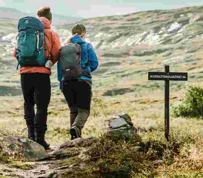
Start at the hotel and walk up the gravel road towards the golf course and the first tee. Continue up the gravel road until you reach a smaller information sign about Låktatjåkko Mountain Lodge in English. This sign also describes the route. Follow this clear path marked with red-painted cairns that goes to the left from the gravel road. After about 500 meters, the cairns are marked in red and yellow. Follow the yellow marking that branches off to the right. You will soon see the hill with a cairn and a sign on it. Cross a few slightly wetter areas, and then you will arrive. On your way back, you can keep to the right, closer to the stream, to pass by the waterfall Syndafallet.
FACTS
|
Distance: |
Hotel Fjället – the cairn roundtrip 3.5 kilometres |
|
Time required: |
1-1.5 hours |
|
Markings: |
Cairns marked with red and then with yellow, |
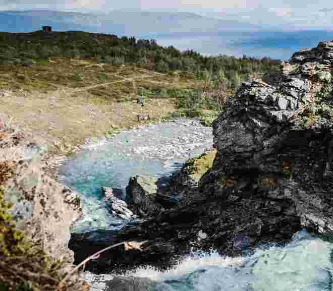
Start at the hotel and head towards the trail to Låktatjåkko Mountain Lodge. After passing the first tee of the golf course by about 50 meters, keep an eye out for a path on your left. Take this path down towards Rakkasjohka, and you will soon reach the waterfall Syndafallet. Take a moment to drink some of the refreshing water, then follow the path the last few meters up to the mountain plateau. Here, you will rejoin the trail to Låktatjåkko; take it in the direction back down towards the hotel. Soon, you’ll be back on a well-trodden gravel path, which you can follow up towards the swimming lake if you wish. Otherwise, veer downwards towards a hill. Don’t miss the classic photo opportunity of Lapporten! The gravel road will then take you back down towards the hotel.
FACTS
|
Distance: |
2-3 kilometres for the whole hike depending on the chosen trail. |
|
Tidsåtgång: |
1 hour |
|
Markering: |
None, but a well defined trail |
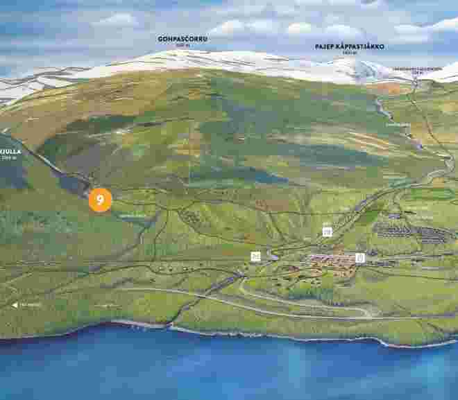
You start at the hotel and follow the path that crosses the ski slope Teknikbacken behind Hotel Fjället. Continue along the trail past Lavvon, down to Rákkasjohka, and over the bridge. On the other side of the bridge, follow the path, and after about 1 km, you will reach a gravel road. Follow this road for 300 meters until you come to a wooden fence and an open area. Cross the open area and follow the path leading up into the birch forest. Keep going along the path until you reach a bridge over the stream Gohpasjohka. Cross the bridge, and now the summit is straight ahead, but the path will take you to the right, up and around to the top to avoid a steep ascent. Once you reach the summit, you can choose to hike back down to Björkliden or continue towards Abisko and take the trail Rallarvägen home.
FACTS
|
Distance: |
6,5 km |
|
Elevation: |
750 m |
|
Marking: |
Red markings on the trees up to the bridge at Gohpasjohka, followed by a clear path. |

